
All eyes turn to Hurricane Ian…
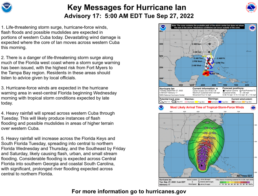
All eyes now turn to Hurricane Ian which is currently making landfall on Western Cuba. Ian will move northward, reaching the extremely warm waters of the Southeastern Gulf of Mexico later today. Ian will continue moving northward, making landfall along the Gulf Coast of Western Florida, likely between Fort Myers and Sarasota tomorrow afternoon or evening. Ian will likely be a major hurricane upon landfall as the waters are incredibly warm in these areas of Southeastern Gulf of Mexico, which should cause rapid and deep intensification after crossing Cuba. All interests along the Florida Gulf Coast, especially between about Fort Myers and Tampa Bay should take all necessary life saving measures at this time. Remember, more people die from flooding and storm surge than anything else. Click here for the latest on Hurricane Ian from the National Hurricane Center. Ian’s remnants will then move northward along the East Coast into early next week, possibly bringing our area some rain and coastal sections a bit of wind Saturday through Tuesday.
Today through Friday will be nice with highs in the 60’s to low 70’s today and tomorrow, dropping to the upper 50’s and 60’s Thursday, then rising a touch to the low to mid 60’s Friday.
Saturday there will be a chance of showers or thunderstorms developing from south to north as the remnants of Hurricane Ian may start reaching our area. Highs will be in the low to mid 60’s.
Sunday through next Tuesday, October 4th, there will be a chance of showers or thunderstorms and winds could be gusty along the coast and on Long Island as the remnants of Hurricane Ian may very slowly pass through our area. Highs will be in the low to mid 60’s Sunday, the upper 50’s to low 60’s Monday, and the low to mid 60’s next Tuesday.
Next Wednesday, October 5th, there will be a just a chance of a shower or thunderstorm as the remnants of Hurricane Ian may finally depart our area. Highs will be in the mid 60’s to low 70’s.
Next Thursday, October 6th, through next Monday, October 10th, are currently looking nice with highs in the mid 60’s to low 70’s next Thursday and Friday, the 60’s next Saturday and Sunday, and the mid 60’s to low 70’s next Monday.
Click here to join We Will Not Go Back to put an end to the insanity in this country of going 50 years backwards...
Click here to Join March for Our Lives to help end gun violence.
DO SOMETHING PEOPLE, DON’T ALLOW THIS TO CONTINUE!!!
EVIL IS ALLOWED TO FLOURISH WHEN GOOD PEOPLE DO NOTHING!!!
No comments:
Post a Comment
Note: Only a member of this blog may post a comment.