
There was a State of Emergency in Florida for this? Now that Erika is completely gone, what does this mean for us? And as for Hawaii, look out for Ignacio, then you have to watch Jimena VERY closely as this storm is currently a strong category 4 with sustained winds of 150 mph! Hawaii is literally surrounded by hurricanes: Kilo to the west, Ignacio soon to the north, and Jimena to the east.
I still can’t believe that a State of Emergency was issued for Florida for Erika. Erika was only a weak Tropical Storm at its strongest point and she was clearly headed for Hispaniola which almost always does a number on tropical storms because of the large mountains there. So, between her already being a weak Tropical Storm, and the large mountains in Hispaniola, this storm had little chance, yet someone apparently advised the Governor of Florida to declare a State of Emergency? It is unreal. The funny thing is that I do typically agree with making errors on the side of caution, but this took it to an extreme in my opinion.
Anyway, what does this all mean for our area now? Basically, we will have some darn nice weather over the next two weeks, with temperatures remaining from the mid 80’s to the low 90’s through next Tuesday with a slight chance of a shower or thunderstorm this morning, then again Thursday and Friday. The Labor Day weekend should beautiful though.
Temperatures will then start to drop as a strong cold front will move through with some showers and thunderstorms next Tuesday and Wednesday, dropping temperatures to the low to mid 80’s next Wednesday, then to the mid to upper 70’s through the following weekend.
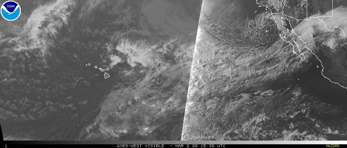
And as far as Hawaii goes, Ignacio has maximum sustained winds of 90 mph and will be going slightly north of Hawaii today and tomorrow, sparing them the worst of the storm, but then they need to watch Jimena very closely as Jimena currently is a strong category 4 storm with maximum sustained winds of 150 mph. Jimena will likely go north of Hawaii as well, however Jimena is still more than a week away, so anything remains possible. Jimena must be watched very closely. Click here for more information from the National Hurricane Center on Ignacio, and click here for more information on Jimena. Click here to view an incredible satellite image of Kilo, to the far left, Ignacio near Hawaii, and Jimena to the right. Check out the eye on Jimena!
"Weather on the Edge", by Dr. Edge
Follow this blog @TheEdgeWeather on Twitter or on Facebook at TheEdgeWeather.
Also, you can access this blog at the following web addresses: edgeweather.com, theedgeweather.com, edgeweather.net, theedgeweather.net, edgeweather.us, theedgeweather.us, edgeweather.org and theedgeweather.org
No comments:
Post a Comment
Note: Only a member of this blog may post a comment.