
The short-range American models are now picking up the disturbance that will pass through our area tomorrow evening and it does appear that there is the potential for a 20 mile wide area of significant snow in parts of our area, most likely through parts of East Central and Northeastern PA, Northwestern NJ, and Central NJ.
Below is the latest snow map from the short-range American model, courtesy WeatherBell Analtytics. Click on the image to enlarge.
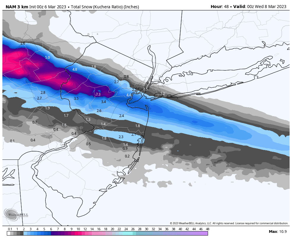
And below is the latest snow map from the experimental short-range American model, courtesy WeatherBell Analtytics. Click on the image to enlarge.

Follow this blog @Edgeweather@newsie.social
Send weather related photos or videos to edgeweather2@gmail.com
Also, you can access this blog at the following web addresses: edgeweather.com, theedgeweather.com, edgeweather.net, theedgeweather.net, edgeweather.us, theedgeweather.us, edgeweather.org, theedgeweather.org, and theedgeweather.blogspot.com
No comments:
Post a Comment
Note: Only a member of this blog may post a comment.